HURRICANE HAL’S TROPICAL WEATHER UPDATE
MON SEP 23 – 1100AM EDT/ 1000AM CDT
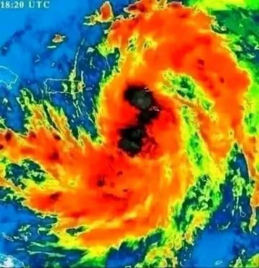
BREAKING NEWS: The National Hurricane Center (NHC) has begun posting advisories on Potential Tropical Cyclone Nine, which will likely become Tropical Storm Helene later today or tonight.
Big Picture: Tropical Storm Helene will likely form in the NW Caribbean later today or tonight, then strengthen to a hurricane as it approaches an area from the Florida Panhandle through West Central Florida on Thursday. Helene could intensify to a category 2 or 3 hurricane that will likely produce a large wind field, and inflict wind, storm surge and rainfall impacts to a broad area of Florida, Georgia and South Carolina.
In Detail:
1. The National Hurricane Center (NHC) forecasts an area of disorganized thunderstorms to become better organized and form a center of circulation in the NW Caribbean Sea later today or tonight. The storm would likely be named Helene, and is forecast to track through the Yucatan Channel, then become a hurricane in the Gulf of Mexico.
2. The general thinking in the models is that this storm would track to the north, then possibly northeast, with a broad area, from the Florida Panhandle to the West Central Florida Coast, in the crosshairs.
3. This storm is forecast to intensify quite rapidly, with the NHC best-track forecast predicting max winds to reach 110 mph in the northeastern Gulf of Mexico. This would place it near the threshold between cat 2 and cat 3 wind speeds.
4. Keep in mind that until a center of circulation develops, we should expect forecasts to have larger uncertainty than normal. Expect track changes to shift east and west, and intensity and timing forecasts to shift more than normal as well.